
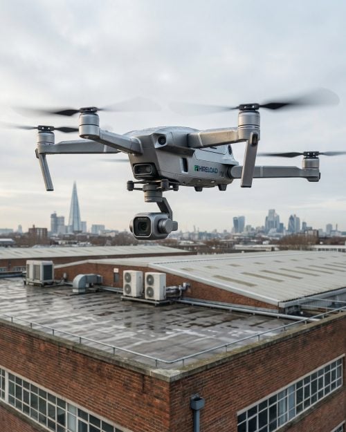
 Drone Services
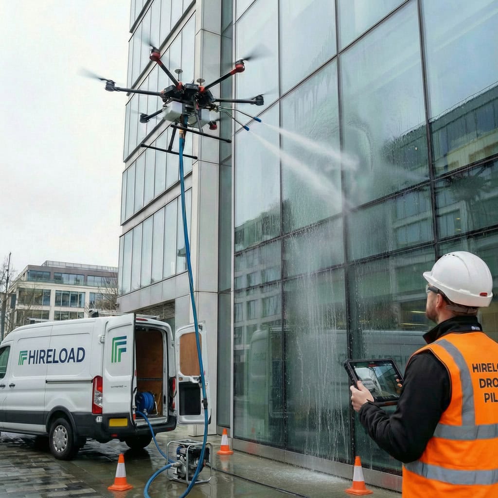
 Access Equipment
 Breaking & Drilling
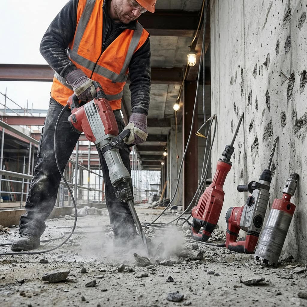
 Cleaning Equipment
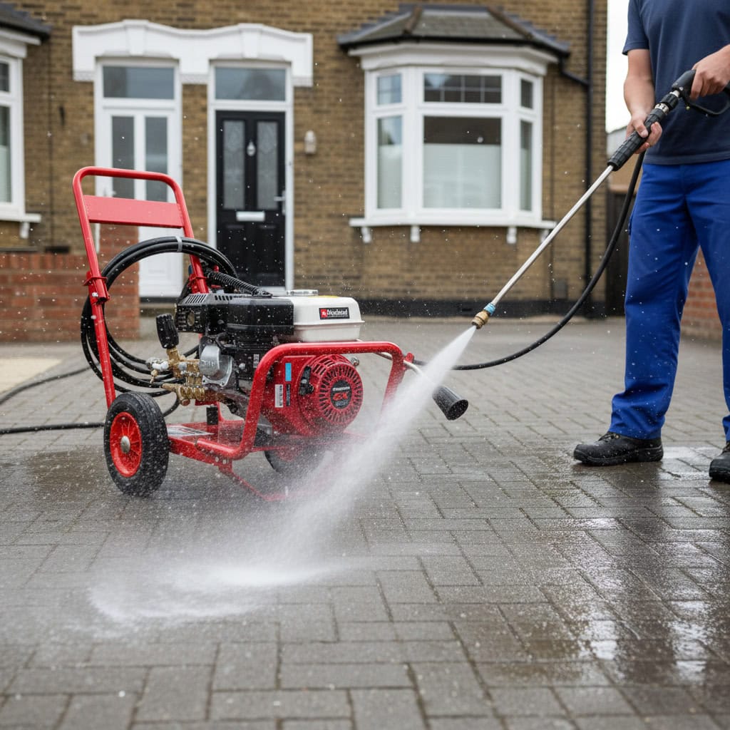
 Drying & Heating
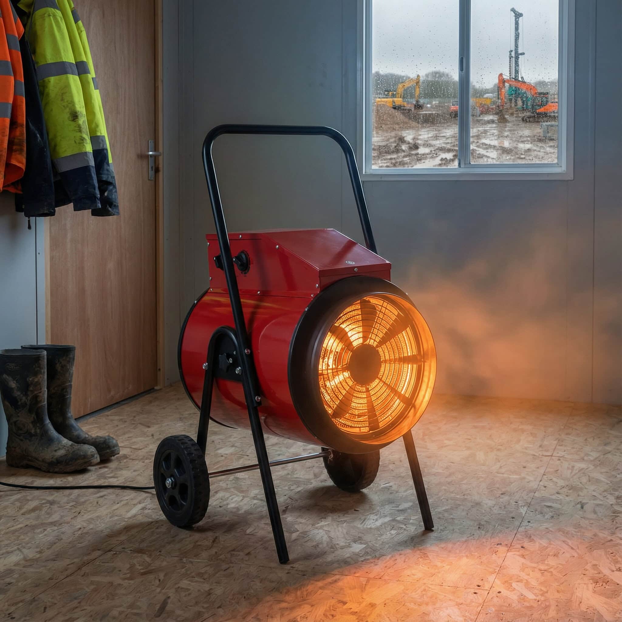
 General Site Tools
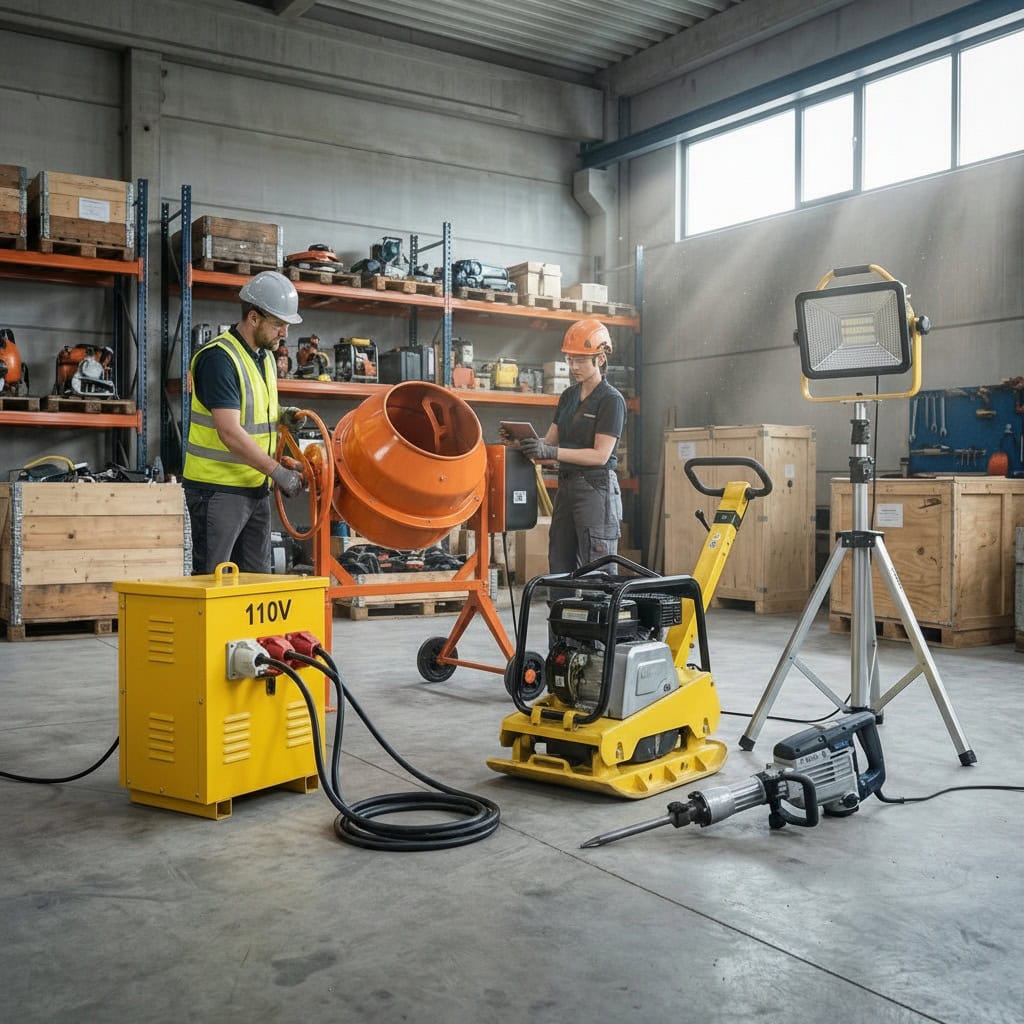
Drone Surveying & Mapping

From £599.00 + VAT
Latest estimated delivery date: Monday 6. July
Drone Surveying & Mapping | Drone Services UK | Hireload
Access high-precision drone surveying & mapping services for construction, land development, and infrastructure projects. Using advanced UAV technology, we deliver fast, safe, and cost-effective data capture to support planning, compliance, and progress monitoring.
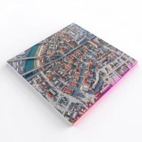
Our Services Include: Topographic Surveys, Aerial Mapping, Construction Progress Monitoring, Asset & Infrastructure Surveys.
🛰️ Commercial drone surveying & mapping · 📍 Site review before booking
Drone Surveying & Mapping for Construction, Sites & Commercial Assets
Aerial site imagery, mapping-style outputs, progress capture and commercial site documentation — supporting construction, estates and facilities teams. Every job starts with a site review so airspace, weather, privacy, exclusion zones and the appropriate output scope are agreed before booking.
📐 OUTPUT FOCUS
- Construction progressProgress capture →
- Site mapping supportMapping outputs →
- Commercial site overviewAerial site survey →
- Output scope reviewChoose output →
📊 SITE DATA SUPPORT · NOT A LEGAL OR CHARTERED SURVEY
Drone mapping captures aerial site imagery and mapping-style outputs to support planning, contractor briefing and progress documentation. It does not replace a chartered surveyor, land surveyor, structural engineer or legal boundary survey where one is required. Every site is reviewed for airspace, weather, privacy, neighbouring property, exclusion zones and access — and accuracy and deliverables are agreed before booking. Work is planned to follow UK drone rules and on-site controls.
SITE MAPPING · OUTPUT AGREED
Site Mapping Support
Aerial mapping-style outputs for commercial and construction sites where suitable — output format, accuracy expectations and ground control needs reviewed before booking.
PROGRESS CAPTURE · REPEATABLEConstruction Progress Capture
Repeatable aerial imagery for construction, refurbishment and estate teams — supporting planning, contractor briefing and client reporting where suitable.
ROOFLINE · ASSETS · YARDSRoof & Asset Survey Support
Visual mapping support for rooflines, rooftop assets, large yards and industrial sites — useful for maintenance planning, asset records and contractor briefing.
OUTPUT SCOPE · UNSURE WHAT YOU NEEDSite Review & Output Scope
Choosing between photos, video, mapping-style outputs, measurements, or specialist surveyor support? Send photos and we'll review feasibility before quoting.
Hireload's commercial drone surveying and mapping service supports construction sites, estates teams, facilities managers, property managers and contractors who need clear aerial site imagery, mapping-style outputs and progress capture — where the site, airspace, weather and required accuracy are suitable. Typical use cases include construction progress, site documentation, roofline and asset records, planning support and contractor briefing imagery on suitable sites.
Drone mapping is suitable for many commercial sites — but not all. Each project begins with a feasibility review covering airspace, weather window, privacy, neighbouring property, exclusion zones, ground control needs and the appropriate output scope. Drone mapping can support visual understanding of a site and help reduce the need for repeated walk-arounds, but it is not a replacement for a chartered surveyor, land surveyor, structural engineer or legal boundary survey where one is required. Call 020 3375 4048 with photos, postcode, site boundary and the output you need for a tailored quote.
📐 QUICK ANSWER
Drone surveying and mapping can support site documentation, progress capture and aerial mapping-style outputs where the site, airspace, weather and required accuracy are suitable. It can help clients understand a site from above — but it does not replace a chartered surveyor, land surveyor, engineer or legal boundary survey where one is required. Output format and accuracy are agreed before booking.
Why facilities, estates & construction teams use drone mapping
Repeatable progress capture
Aerial imagery captured to a repeatable schedule — supporting client reporting, contractor briefing and before/after records where suitable.
Mapping-style outputs
Aerial maps, visual overlays and site documentation where conditions and accuracy expectations are agreed before booking.
Commercial site overview
Single-visit visual understanding of warehouses, yards, roofs, industrial estates and large commercial footprints.
Lower-disruption capture
Drone capture may help reduce the need for scaffold or repeated walk-arounds on suitable sites — useful for sensitive or busy commercial environments.
Clear output scope
Photos, video, mapping-style outputs or measurement support — the deliverable is agreed in writing before booking.
UK drone rules & site controls
Work is planned to follow UK drone rules and on-site controls. Airspace, exclusion zones and client permissions are reviewed and agreed before scheduling.
What do you need mapped or documented?
ASSET / NEED
BEST STARTING METHOD
USE FOR
CHECK FIRST
Construction progress
📸 Aerial progress capture
Site updates, contractor briefing, client reporting, before/after records.
Access · repeat frequency · site activity · privacy · output format
Commercial site overview
🗺️ Drone site survey support
Warehouses, yards, estates, roofs, industrial sites and large commercial footprints.
Airspace · site boundary · neighbouring property · access
Mapping-style outputs
📋 Output scope agreed first
Aerial maps, visual overlays and site documentation where suitable.
Accuracy expectations · deliverable format · ground control needs
Roof / asset mapping
🚁 Drone visual survey support
Rooftop assets, large roofs, drainage routes, external plant.
Roof visibility · height · wind · privacy · access
Measurement support
📞 Ask before booking
Approximate planning support where suitable — accuracy agreed first.
Accuracy requirement · specialist surveyor need · deliverable format
Legal / surveyor-level work
⚠️ Specialist surveyor required
Legal boundaries, engineering design, surveyor-certified output.
Professional sign-off · accuracy requirements · scope
Drone mapping vs land survey vs aerial photos vs inspection
🗺️ AERIAL · MAPPING SUPPORT
Drone mapping support
- What it doesAerial site imagery + mapping-style outputs
- Best forProgress · documentation · briefing
- SetupSite review · airspace · weather
- AccuracyAgreed before booking
✓ Strong fit
- Construction progress capture and contractor briefing
- Visual planning support for commercial sites
- Site documentation where ground access is limited
✗ Not ideal for
- Legal boundaries or certified surveys
- Engineering design needing certified accuracy
- Surveyor-certified output unless agreed with a specialist
📐 LAND / MEASURED SURVEY
Land / measured survey
- What it doesSpecialist surveyor method
- Best forLegal / design / certified
- SetupSurveyor brief + scope
- OutputCertified deliverables
✓ Strong fit
- Legal boundary surveys and disputes
- Engineering design and certified measurement
- Topographic and geotechnical professional output
✗ Not ideal for
- Being replaced by drone imagery alone
- Quick visual progress updates
- High-frequency repeat capture for reporting
📸 AERIAL · PHOTO + VIDEO
Aerial photos / video
- What it doesVisual capture from above
- Best forMarketing · records · reporting
- SetupBrief + access window
- OutputPhotos / video sets
✓ Strong fit
- Marketing imagery and visual progress updates
- Client reporting and visual records
- Site context shots for planning meetings
✗ Not ideal for
- Measurement or mapping output unless agreed
- Surveyor-grade documentation
- Engineering or boundary work
🛠️ INSPECTION · CONDITION REVIEW
Drone inspection
- What it doesVisual condition evidence
- Best forMaintenance · briefing
- SetupSite review · scope
- OutputFindings imagery
✓ Strong fit
- Roof, gutter, cladding and asset condition checks
- Maintenance planning and contractor briefing
- Visual evidence of high-level areas
✗ Not ideal for
- Mapping deliverables unless scoped
- Repeatable progress capture sets
- Site-wide overview imagery alone
📐 Quick answer: drone mapping can support visual site understanding and aerial mapping-style outputs — but the required accuracy and output must be agreed before booking. Specialist surveyor confirmation may still be needed for legal, engineering or certified work.
Choose by site type
Construction site
Active construction, refurbishment and groundworks needing repeatable progress capture.
Industrial estate
Yards, units, rooftops and shared service areas across larger industrial footprints.
Warehouse / logistics yard
Footprint imagery, parking, loading areas and rooftop asset overview.
Commercial roof / rooftop assets
Visual mapping support for plant rooms, drainage routes and rooftop equipment.
Property development
Pre-build, in-build and handover capture for developers and project teams.
Retail park / dealership
Public-facing footprint imagery, signage planning and exterior records.
School / estate site
Holiday-window capture for schools, public-facing estates and managed sites.
Large private land / managed property
Estate boundaries, access routes and overall site overview where suitable.
What affects drone surveying & mapping cost?
📐 Site size
Total area to be captured drives flight time, planning and processing scope.
🗺️ Number of capture areas
Single zone vs multiple zones, separate elevations, or split parcels.
📊 Output format required
Photos, video, mapping-style outputs, model or measurement support — agreed first.
🔁 Repeat visits / progress schedule
One-off capture vs repeatable progress set — frequency confirmed before booking.
🎯 Accuracy requirements
Approximate visual support vs higher-accuracy capture with ground control where required.
🛰️ Airspace & location
Restricted airspace, nearby aerodromes or sensitive areas need additional planning.
🚧 Access & exclusion zone
Pedestrians, parking, neighbouring property, fenced areas and ground-level controls.
🔒 Privacy & neighbours
Public sightlines, residential overlap and sensitive sites need additional planning.
🕒 Operating hours
Out-of-hours, weekend or holiday windows for sensitive or busy commercial sites.
📍 Travel / logistics
Site distance, access route and equipment transport to the job address.
📜 Specialist surveyor support
Where legal, engineering or certified output is required, a specialist surveyor will be needed.
📸 Send photos, postcode, site boundary, output required, accuracy expectations and preferred timescale for a tailored quote — call 020 3375 4048 or use the contact form.
Before we quote — what we need from you
- Site address / postcode
- What needs mapping or documenting?
- Site boundary or marked area if available
- Photos, plans or drawings if available
- Output required: photos, video, map-style output, measurements, progress set
- Accuracy expectation
- Is surveyor-certified output required?
- Access route, parking and site contact
- Construction activity, plant or pedestrian flow
- Nearby roads, railways, schools or public areas
- Privacy / neighbouring property concerns
- Airspace restrictions or nearby aerodrome (if known)
- Preferred working hours and weather window
- Repeat visit schedule (if needed)
Commercial sectors we support
Construction & refurbishment
Site progress capture, contractor briefing imagery and project documentation.
Facilities management
Planned-maintenance evidence and contractor scoping for managed property.
Estates teams
Multi-building portfolios needing repeatable visual evidence and CapEx briefing.
Property managers
Roof and exterior visual checks for landlord, agent and managed assets.
Warehouses & logistics
Cladding, roofline, yard footprint and rooftop asset evidence.
Retail parks & dealerships
Public-facing exterior evidence with controlled scheduling.
Industrial / energy sites
Yards, plant, large roofs and access routes — subject to site review.
Property development
Pre-build, in-build and handover capture for developers and project teams.
Insurance / maintenance
Visual records to support maintenance discussions where suitable.
Why hire Hireload for drone surveying & mapping?
Site review before booking
Feasibility, airspace, access and exclusion zones reviewed before quoting.
Output scope agreed first
Photos, video, mapping-style outputs or measurement support — agreed in writing before booking.
Progress imagery where suitable
Repeatable aerial capture for construction, refurbishment and estate teams.
Mapping-style support where agreed
Aerial maps, visual overlays and site documentation where conditions and accuracy are agreed.
Clear limitations & next steps
Where surveyor-certified output is required we'll say so — and recommend a specialist where needed.
UK drone rules & site controls
Work is planned to follow UK drone rules and on-site controls.
Competent operators
Drone operators assigned according to site and operation requirements.
Insurance on request
Public liability and aviation insurance details available on request.
Drone surveying and mapping enquiries
London & surrounding areas
Most commercial enquiries we handle are across London and nearby commercial corridors.
UK commercial projects
UK-wide commercial enquiries welcome — site review agreed before scheduling.
Send photos first
Photos, postcode and site boundary help us scope feasibility quickly.
Call 020 3375 4048
Talk to us with the address, output required and the deliverable you need.
Email a brief
Email hireload.ltd@gmail.com with photos, boundary and output details.
Access & permissions
Site access, exclusion zones and any required permissions confirmed in writing before scheduling.
Frequently asked questions
What is drone surveying and mapping?
Drone surveying and mapping captures aerial site imagery and mapping-style outputs of a commercial site using a remotely piloted drone. Typical outputs include photos, video, aerial maps, site documentation and — where agreed and suitable — mapping-style outputs and approximate measurement support. It is a visual and data-capture service, not a substitute for a chartered surveyor or land surveyor where one is required.
Is drone mapping suitable for my site?
Drone mapping is suitable for many commercial sites, but not all. Airspace, weather window, privacy, neighbouring property, surface visibility, ground access and exclusion zones are reviewed first. Send photos, postcode and a site boundary — suitability and the appropriate output scope are reviewed before quoting.
What outputs can drone mapping provide?
Output is agreed before booking. Typical outputs include aerial photo and video sets, aerial maps, mapping-style outputs, site documentation and — where suitable and agreed — measurement support. Where surveyor-certified output is required, a specialist surveyor will need to be involved alongside drone capture.
Does drone mapping replace a land surveyor?
No — drone mapping captures aerial imagery and mapping-style outputs to support planning, documentation and progress capture. It does not replace a chartered surveyor, land surveyor, structural engineer or legal boundary survey where one is required. Drone outputs can support a specialist's work; the specialist confirms certified deliverables.
How accurate is drone mapping?
Accuracy depends on site conditions, ground control, output type and the appropriate workflow. Approximate visual support is suitable for many sites. Higher-accuracy capture with ground control may be possible where required and is reviewed during the site assessment. We don't make accuracy guarantees — accuracy expectations are agreed before booking.
Can drones map construction sites?
Yes — drones can support visual progress capture and aerial site documentation on construction sites where the airspace, weather window, exclusion zones and access are suitable. Repeat capture for progress sets is reviewed alongside site activity, plant movements and client reporting needs before scheduling.
Can drones provide progress photos or video?
Yes — repeatable aerial photo and video sets are a common output for construction, refurbishment and estate teams. Frequency, output format and access controls are agreed before booking and reviewed against site activity and weather windows.
Do I need ground control points?
Ground control may be required where higher accuracy is needed for specific outputs. For approximate visual support, ground control is often not needed. The right approach depends on the output you need and is reviewed during the site assessment before booking.
What checks are needed before drone mapping?
Site address, site boundary, output required, accuracy expectations, airspace and any nearby aerodrome, weather window, privacy and neighbouring property, pedestrians and traffic, exclusion zone, client permission and the inspection/mapping goal. We compile this in a written scope before scheduling.
Can drone mapping be done in windy weather?
No — drone mapping is weather-dependent. Work is planned around safe operating conditions and may be paused or rescheduled if wind, rain or visibility is unsuitable. Each job is planned around an appropriate weather window where possible, with conditions reviewed on the day.
How much does drone surveying and mapping cost?
Cost depends on site size, number of capture areas, output format, repeat schedule, accuracy requirements, airspace, access, operating hours, travel logistics and whether specialist surveyor support is needed. Send photos, postcode, site boundary and the output you need and we'll provide a tailored quote.
Can you provide measurements from drone mapping?
Approximate measurement support may be available where suitable and agreed before booking. Where higher accuracy or surveyor-certified measurements are required, a specialist surveyor will need to be involved. We'll review the output you need and recommend the right approach.
📍 Site review & output scope first
Need drone surveying or mapping support for a commercial site?
Send photos, postcode, site boundary, output required, accuracy expectations and preferred timescale. We'll review suitability, airspace, privacy, exclusion zones and the appropriate output scope before quoting.
- Photos & postcode
- Site boundary
- Output required
- Accuracy expectations
 Drone Survey & Mapping
 Drone Inspections